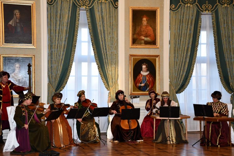


Exhibition " Uniting space and time: Belarusian lands on the maps of XVI-XVIII centuries "
2019-12-20
The exhibition is a joint project of the Mir Castle Complex Museum, the National Museum of Old Maps and Books (Romania), the Nesvizh National Historical and Cultural Museum-Reserve, the National Historical Museum of the Republic of Belarus, and the Central Scientific Library named after Yakub Kolas of the National Academy of Sciences of Belarus and Belarusian collector, designer, restorer Igor Surmachevsky.
Old cartographic documents have always been a valuable source of information. According to them, one can trace the chronology of changing the borders of states, the directions of military campaigns, the places of battles, the conclusion of peace treaties and learn about other important historical events. In addition, the information on the maps indicates the level of geographical knowledge of those times.
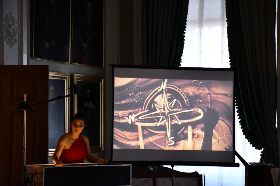
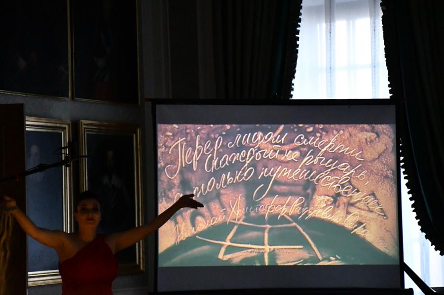
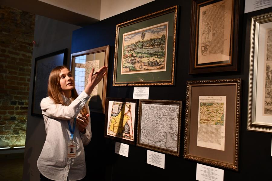
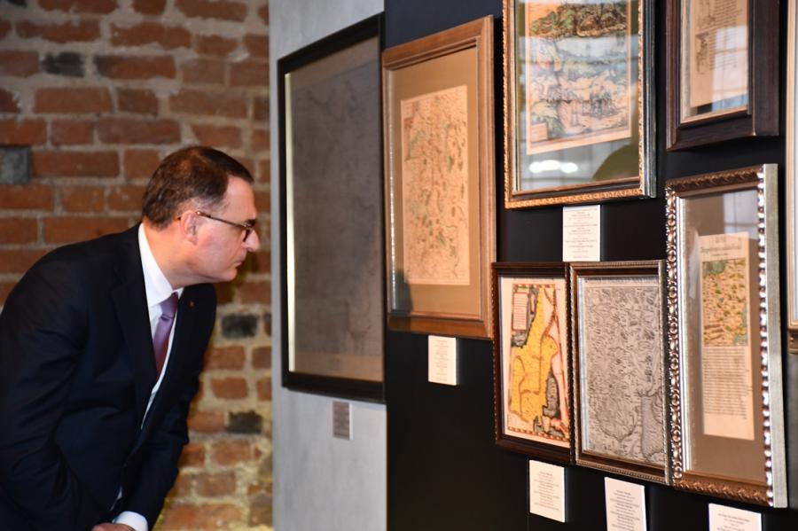
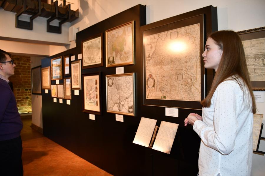
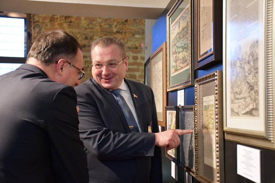
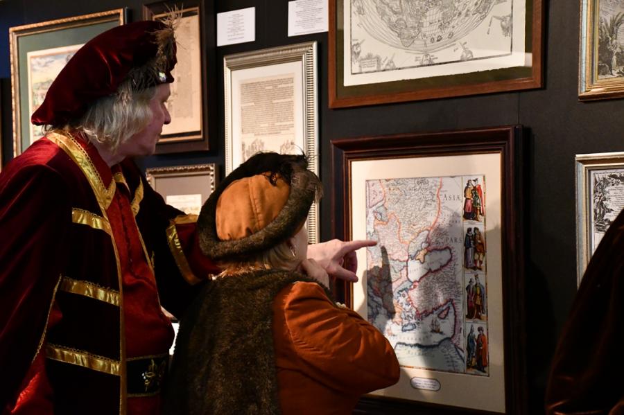
In the exhibition hall of Mir Castle historical maps of the 16th – 18th centuries are presented, as well as their copies, on which Belarusian lands are displayed. Cartography is presented by famous Dutch, French, German masters, among which are: Peter Schenck, Nicolas Sanson, Petrus Bertius. Of particular note is the map of the Grand Duchy of Lithuania 1631–1650, which for the next two centuries remained an incomprehensible model in the territory of the Polish-Lithuanian Commonwealth both in terms of the quality of the design and the completeness of the information posted on it. The map was created by the famous engraver Tomasz Makovsky commissioned by Prince Nicholas Christopher Radziwill Sirotka. The portrait of the map’s founder itself can be seen on the pages of the book “Re-Orgination, or Pilgrimage of Prince Nicholas Christopher Radziwill to the Holy Land” of 1683 edition. In addition, visitors to the exhibition will see objects related to travel and cartography and learn about the features of the pilgrimage.